
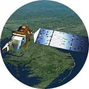
This site describes studies by our interdisciplinary group to develop effective satellite imagery procedures for surface water quality assessments. Our work seeks to expand the use of these procedures and results by research scientists, water management agencies, and the public, with long-term goals of improving societal knowledge and understanding of surface water resources and helping to improve data-driven resource management.
Why remote sensing of water?
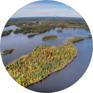
Protecting the water quality of lakes is an important societal goal, but only a small fraction can be monitored by ground-based methods. Satellite sensors can now measure the water quality of virtually all lakes.
Who we are
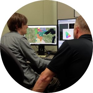
We are an interdisciplinary group of University of Minnesota researchers focused on the use of satellite imagery to measure surface water quality.
What we do
We conduct research on methods for monitoring and analysis of clarity, chlorophyll, and CDOM for more than 10,000 Minnesota lakes. The results for 1975 ‒ 2021 are available to researchers, resource agencies, and the public in online databases.