Background
Chlorophyll is the primary pigment that captures light energy during photosynthesis. All plants, including algae and cyanobacteria, contain chlorophyll, and it is a widely used metric for algal biomass in water bodies. “Algae,” a term describing a diverse group of mostly microscopic organisms, typically are the base of aquatic food webs. Algal abundance and species composition are key water quality factors. Chlorophyll absorbs sunlight at specific wavelengths and reflects light that is not absorbed. The differential absorption and reflection of specific wavelengths of light is the basis for lab and remote sensing methods to measure chlorophyll.
Chlorophyll usually is determined by filtering algae from water samples, extracting the pigment from the filter with an organic solvent, and measuring absorbance by spectrophotometry. Remote sensing methods measure light reflected from water using wavelengths characteristic of the absorbance spectrum of chlorophyll. Remote sensing methods for water clarity also can provide information on algal biomass because water clarity typically is inversely correlated with algal biomass (increasing algae decreases clarity) if other substances that affect clarity (CDOM and mineral turbidity) are not present at high levels.
Chlorophyll distribution in Minnesota lakes
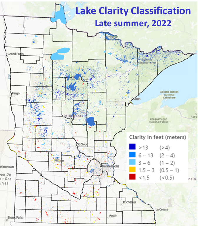
We recently began measuring chlorophyll levels in Minnesota’s more than 10,000 lakes using imagery from the Sentinel-2 satellites, which have spectral bands for chlorophyll and more frequent image acquisition over wider swaths than Landsat. The figure below illustrates the statewide distribution of chlorophyll (and hence algal biomass) in late summer 2022. For more detailed information and results for particular lakes of interest, see the LakeBrowser where you can search for individual lakes and display results for individual months from May to October.

Spatial and temporal patterns of lake chlorophyll
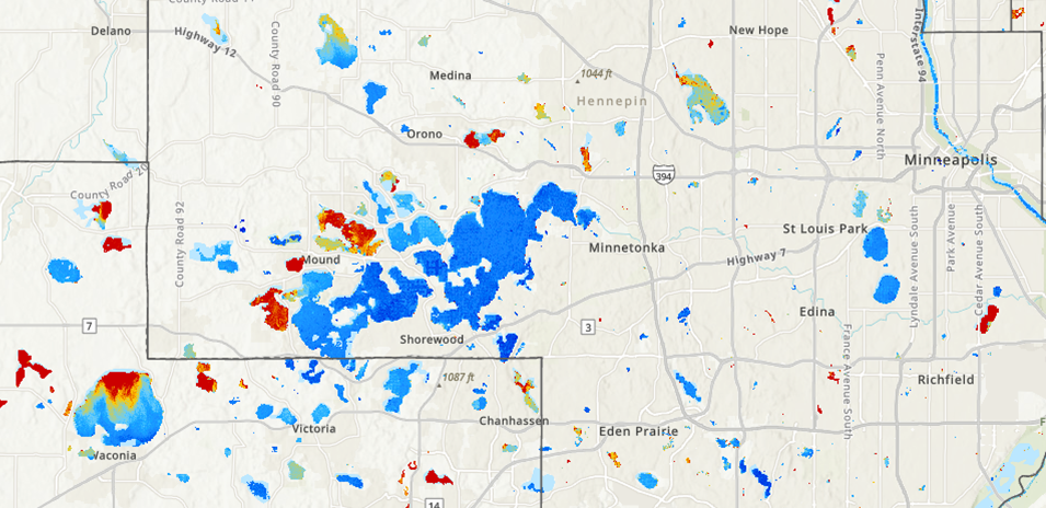
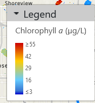
Chlorophyll concentrations (and algal densities) vary widely, even for lakes within small geographic regions, such as shown below for the Lake Minnetonka area in the west metro Twin Cities. The variability reflects differences in nutrient loadings from surrounding landscapes, as well as inherent differences among lakes in their ability to assimilate nutrients. The per-pixel classification also shows the within-lake variation.


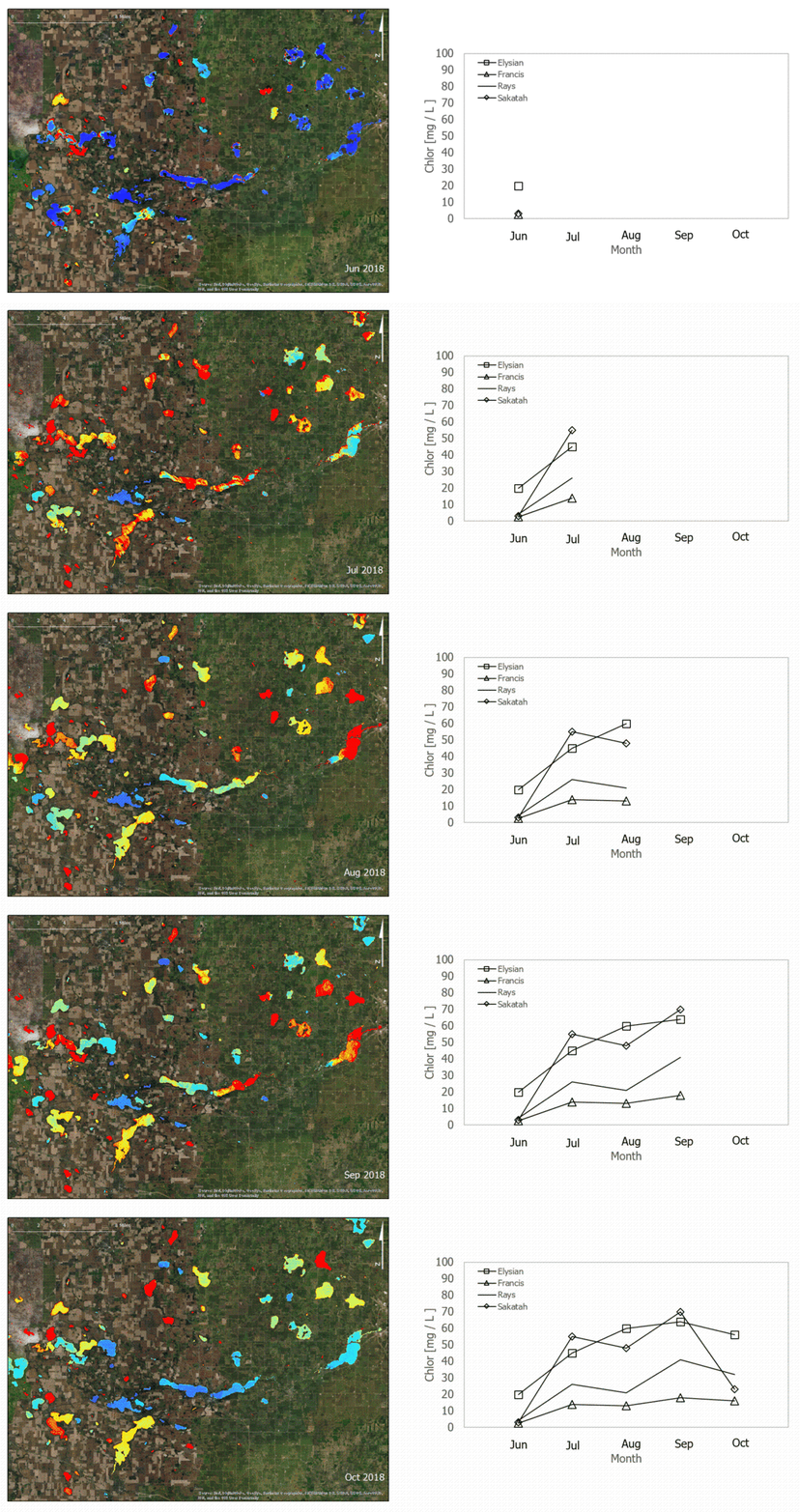
Chlorophyll concentrations are highly dynamic, with large variations in concentration during the summer growing season. The graphic below shows how chlorophyll concentrations change from May to October for lakes in an agricultural area of southern Minnesota. The Sentinel 2 data enable analyses of water quality trends in individual lakes over time.

