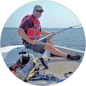
Biography
Leif Olmanson is a research associate specializing in remote sensing techniques. He has more than 20 years of experience developing remote sensing applications to create multi-temporal, spatially comprehensive datasets of water and land resources to characterize large ecoregions and has authored/co-authored many highly cited articles on these topics. Applications include lake and river water quality, aquatic plant assessments using hyperspectral imagery, and land-cover mapping using multispectral imagery, lidar data, object-based image analysis via random forest classification. His current research focuses on new satellite systems to measure a variety of key water quality constituents in optically complex inland waters. He is particularly interested in using cutting-edge remote sensing and geospatial analysis to improve our understanding of the natural environment.
