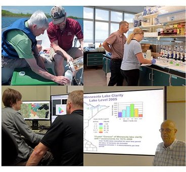
We are an initiative of an interdisciplinary group of faculty and staff from three colleges: College of Food, Agriculture and Natural Resources Science, College of Biological Sciences, and College of Science and Engineering in association with the Remote Sensing and Geospatial Analysis Laboratory and the Water Resources Center, who collaborate on developing procedures to measure water quality of inland waters (lakes and rivers) by satellite imagery. We also analyze the satellite-derived data to develop a better understanding of spatial and temporal variations in water quality, especially at large (ecoregion) scales.
In the more than 25 years our core group has worked together we have seen vast improvements in satellite technology and the techniques used to retrieve useful water quality information from satellite imagery. Our work has contributed significantly to the development of the field from a new and untested science area to a mainstream approach for obtaining water quality data at local to regional scales.
